I left Michigan late on Easter evening and flew down to
Myrtle Beach. After a few days in
Pawleys Island, I went up to my parents near Wilmington where I spent two days
on the river. This is my first post from
these adventures. Last night, I flew
back to Michigan. I'm now approaching a 1000 posts... this is number 994!
 |
| Wilmington's Waterfront with Coast Guard Cutter in center |
My brother wanted to get out in his boat and since it was
pretty windy asked if I’d like to run up the river where the wind wouldn’t be a
problem. Having just finished reading
Philip Gerard’s book, Down the Wild Cape
Fear (which I will review in a few days), I readily agreed. Although I’d paddled the upper parts of the
river when I lived in North Carolina and have explored large parts of the
estuary south of the State Ports, I had never been on the section of the river
above right above Wilmington. This was a
good opportunity to explore and see some new country.
We put in my brother’s boat at ramp at Dram Tree Park beside
the Cape Fear Memorial Bridge.
The Dram
Tree was a legendary symbol by the river, a large cypress bearded with Spanish
Moss.
Today, the ports are south of the bridge, but
in the days of sailing ships, when the port was along Dock Street in town, captains
would enjoy a dram of whiskey celebrating the end of the journey as they passed
the tree.
Or, as they headed down the
river toward the sea, a dram was toasted for good sailing.
But in the 40s, someone cut the tree
down.
It’s sad to think that it’s no
longer here, but it probably wouldn’t have survived the building of the bridge
and if it had, it salt water incursion would have killed it.
The river has been dredged deeper and deeper
to handle larger ships, which has allowed salt water to move up the river on
rising tide.
 |
| USS North Carolina |
We back out into the river and head upstream, passing by the
city and the boardwalk along the river with its trendy shops and fancy
restaurants. A sailboat is making its
way downriver and Coast Guard Cutter is tied up at the along the banks. A little further down, at the site of the old
Atlantic Coastline warehouses, a research vessel for Cape Fear Technical
College is docked. Just beyond is the
city’s convention center. The waterfront
for the city is nice, but we take the left fork, heading up into the Cape Fear
River. The right fork is the Northeast
Cape River. I’ve paddled the headwaters
of both, but today, we’re being pushed upriver against both the flow and an
outrunning tide. My brother’s motor is
more than sufficient for the task.
Compared to the east bank, with the city perched on the high
banks, much of the west bank of the river is swampy and junky, with scrap
yards, dry docks and moored tugs. This
is Eagle Island, a low island that is bound by the Cape Fear on one side and a
cut off the main channel, known as the Brunswick Rive on the other. Possibility the only manicured lawn on Eagle
Island is the park around the Battleship North Carolina, which is permanently
moored in the mud just south of the confluence of the two rivers. A river ferry shuttles tourist from downtown
to the battleship.
We move up into the Cape Fear River, motoring under the 421
Bridge and in just a few minutes, we are in another world. For the next couple of hours, we’ll alternate
between worlds as the river passes by industries that depend on it for water
and other areas.

At first, the river is banked by savannah like grasses. Prior to the Civil War, runaway slaves hid in
these grasses and in some areas rice was cultivated. At
Navassa, we pass under a rusty railroad drawbridge. Just west of here is a large rail yard that
serves industries around Wilmington plus the ports. The drawbridge used to be regularly used, but
in the last couple of decades, barge traffic up this part of the river has
ceased. In days past, there was a large
fertilizer and creosote plant in this area, but today there is only a small dry
dock with what looks to be pleasure vessels being refurbished. After Navassa, there are the two huge stacks
of the Sutton Power Plant, with a gentle roll of brown smoke coming from the
top. Beside the plant is a dwindling
pile of coal. The power plant is
currently being rebuilt to burn natural gas and this includes building new
stacks that are not nearly as tall.
 |
| Sutton Power Plant (notice the smaller natural gas stacks to right) |
 |
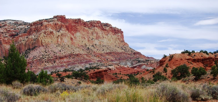
| A view of the Cape Fear |
 |
| Confluence of Black and Cape Fear |
After Sutton, trees begin to line the banks. We pass the intakes and outflows for a
numbers of industries, including one where my brother works, but even with
their stacks of 100 or more feet, we don’t see them from the river. At the confluence of the Black River, the
water swirls as the two rivers flow together.
The Black lives up to its name.
It is dark water, stained by tannin acid produce by cypress. It was in the headwaters of this river, that
I first made a river trip in a canoe forty years ago. The black flows into the muddy Cape Fear and
for a while you can make out the waters from both rivers until they are finally
mixed and the brown silt of the Cape Fear overpowers the black waters. After the confluence, we run along Roam
Island, a wild and undeveloped island that is flanked on one bank by the Cape
Fear and on the other by the Black and a cut-off from the main channel of the
Cape Fear that runs into the Black, making it a true island.

We continue along the main channel, south of Roam
Island. The south bank of the river is
often high, with pines growing in tall sandy bluffs. The north side is swampy, the trees just
budding out. Cypress, with their
exposed knees at water level and Spanish moss beards are most common by the
water, but there are also various gums, sycamores and live oaks. Underneath are dogwoods and other blooming
shrubs, palmettos and even some flowers.
If we explored the island, we’d probably find all kinds of carnivorous
plants, including the Venus flytrap that only grown in this part of the world. Along the banks, where logs have fallen into
the river, turtles congregate, enjoying the sun. The river along here probably looks the same as it did when my Scottish ancestors rowed up these waters in the mid-18th Century.

After we pass Roam Island, we stop for lunch and then to
turn back home as we both have stuff to do.
If we’d had another couple of hours, we could have run on upriver, past
the huge International Paper Mill at Riegelwood and then a little later to the
first of three lock and dams that allowed barges to push all the way up the
river to Fayetteville. At the first
lock, they’d be shad fishing, as this is the season for the fish to run upriver
to spawn. But we don’t have time today
and after eating our sandwiches, we turn around and make our way downriver,
this time traveling a little faster with the current, but keeping an eye out
for logs and other obstacles floating down the river. As
river widens, we’re treated with a bald eagle flying overhead. It has been a good day.
 |
| A view of the Cape Fear |